
LLM with vision and object detection Software that spread your growth.
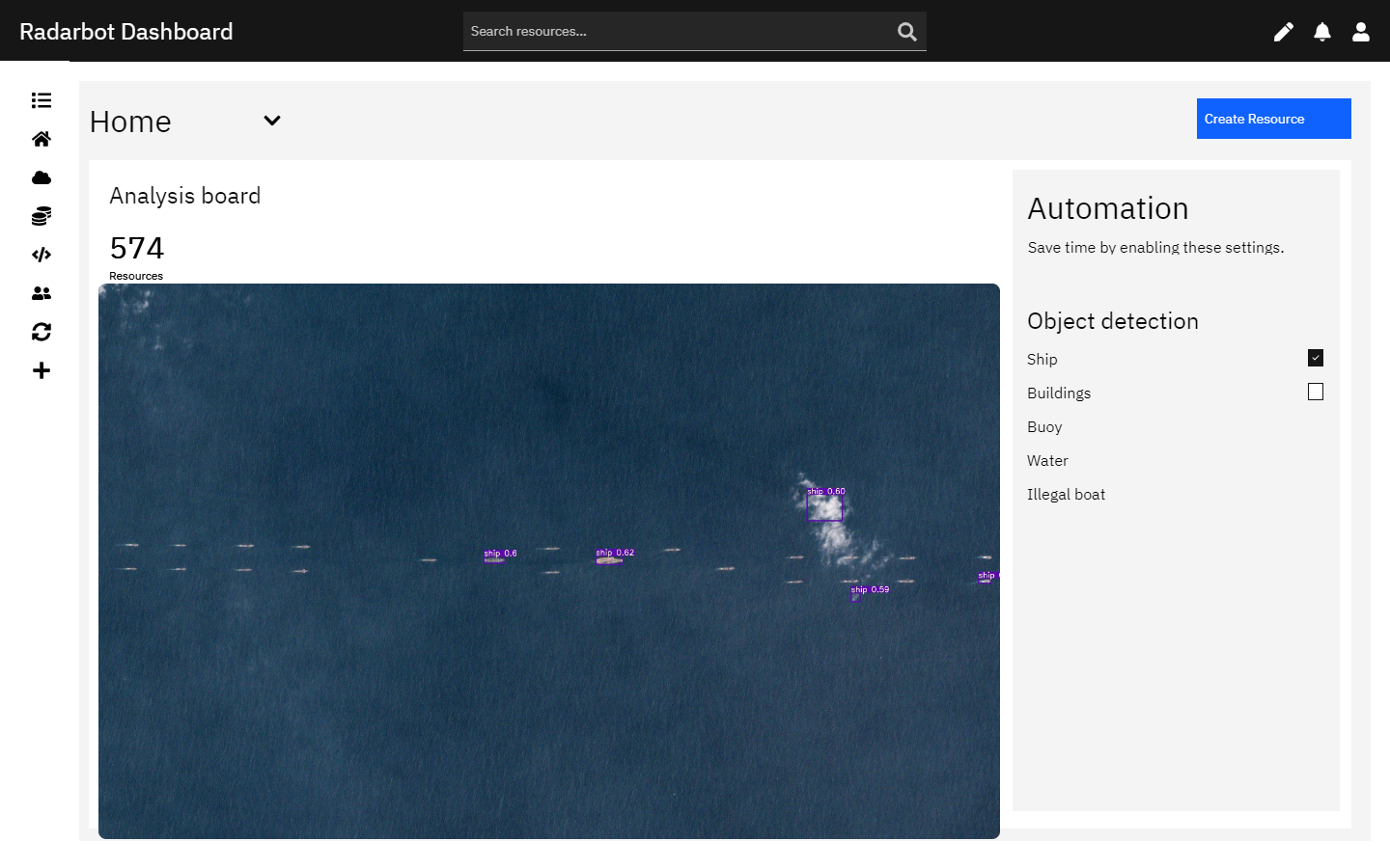
Detecting Ships at Sea with Satellite Images and AI
Cargo vessels, tankers, fishing boats – AI can recognize them all, allowing for targeted monitoring and analysis.

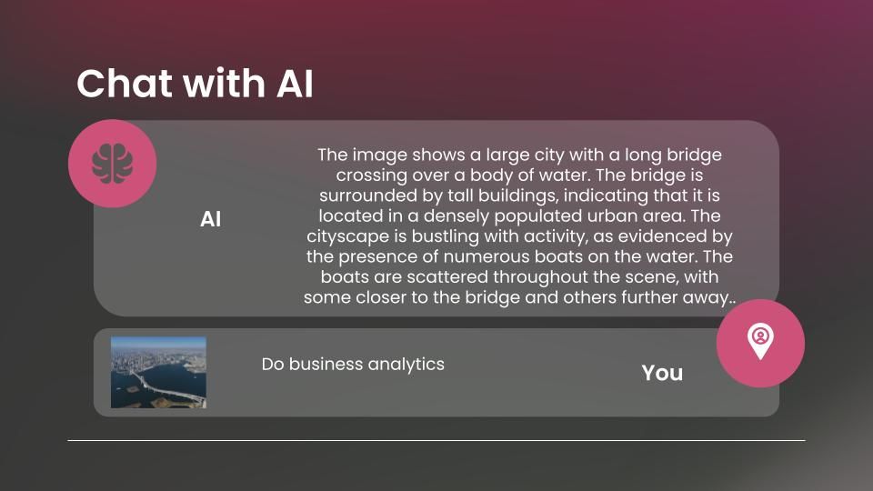
Stock Price Forecasting and Business Analysis
That's the power of satellite data and AI-powered stock price forecasting. By analyzing high-resolution satellite images and weaving them together with vast datasets of economic indicators, market trends, and even social media sentiment.
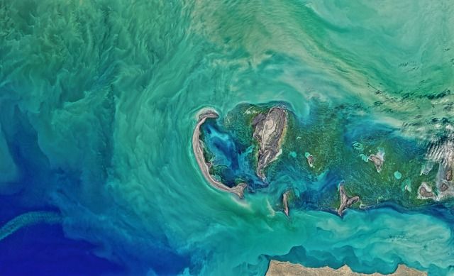
Defense Island
Our proprietary system harnesses the power of satellite monitoring to create an invisible shield around your island. Our team of security experts proactively analyzes this data, identifying and neutralizing dangers long before they reach your shores. Invest in the future of island security and privacy.
Radar Bot is technology-first approach to find problem and teach us how to solve it.
© 2024 Common Radarbot Technologies. All rights reserved.